Our very own junior geoinformatic specialist, Mike, just graduated from Aalborg University Copenhagen with a master’s degree in Geoinformatics.
His master thesis was done in close collaboration with our remote sensing experts here at DHI GRAS using Sentinel-2 imagery.
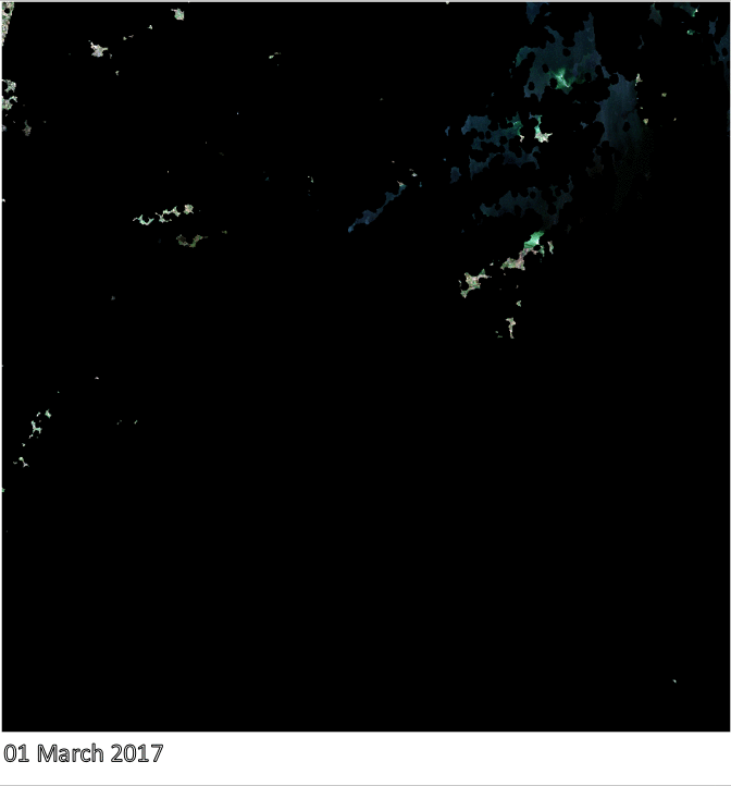
One main challenge for satellite imagery analysis is cloud cover, especially when working with time sensitive objects such as crop type classification and crop yield estimation.
Mike looked at how the implementation of image composites could be beneficial for cloud-free crop type monitoring and classification and found that creating monthly composites provided an increase of 23.5% in the total number of fields available for classification in the area of interest.
On a wider scale, the composites provide a big opportunity for monitoring and classification of land cover and land use in cloudy and rainy areas, such as the wet season in Africa or South-East Asia and could make crop yield estimates more reliable.
Below you can get an idea of how piecing together images from different days with differing cloud cover can result in an almost cloud-free image to do the further analysis on.