Saving water with satellites:
17 June 2019
A new system is being considered for inclusion in the EU’s Earth Observation programme, Copernicus, to estimate water-use by plants evapotranspiration and to improve crop water-use productivity.
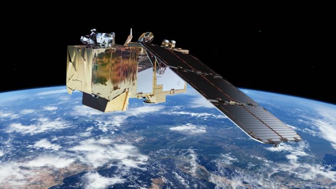
The Land Surface Temperature Monitoring (LSTM) mission will be able to identify the temperatures of individual fields and would be more than 400 times as detailed as what is delivered by the current Sentinel satellite land surface temperature sensors.
The increased resolution and precision of LSTM will enable specialists to calculate in real time how much water different plants require in different areas, and how often those plants need to be irrigated. It could also be used to help predict drought conditions.
The LSTM mission will complement the existing family of Copernicus satellites, sentinels, for observing the land and coastal areas, and will hopefully become an operational spacecraft within the next decade.
Our senior remote sensing specialist, Radoslaw Guzinski, is one of the authors behind the Mission Requirements Document, and we will follow the activities closely in the coming years.
In the meantime, we are working on innovative methods and tools to estimate field-scale plant water-use with the data coming from existing Copernicus satellites.
See link below for project website.
EOatDHI part of the DHI GROUP
gras@dhigroup.com
+45 4516 9100
Agern Alle 5,
2970 Hørsholm,
Denmark
CVR: 36466871